Some maps and data of archaeological sites in Slemani province

Some maps and data of archaeological sites in Slemani province


240111033238.jpg)
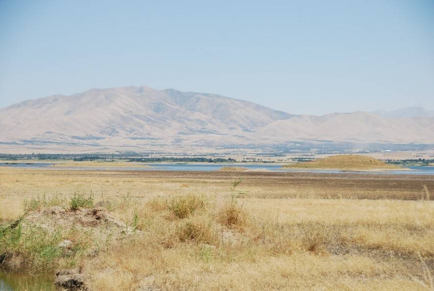
The latest archaeological activity is the survey of some of the archaeological Sites in Dukan Lake. It is a joint work between the Archeology and heritage Directorates (Slemani, Raperin and Pisa University) of Italy.
Grdi-Shaikh Marif The archaeological site of Shaikh Marif, located in the Shahrizor Plain ca. 500 m south of Gird Shamlu along the Wadi Shamlu, was registered by the Iraq Museum in 1943. In November 2012, the Shahrizor Survey Project additionally identified several new artificial mounds near Shaikh Marif. Among them, a cluster of two tiny mounds is called, together with Shaikh Marif itself, “Se Tapanسێ تەپان ” by the local people, and thus all three mounds were designated “Shaikh Marif”: Shaikh Marif I (the original northern mound), Shaikh Marif II (a western mound also called “Ash Shaikh Marif” by the locals), and Shaikh Marif III (an eastern mound). The land is seasonally cultivated today, and the water of the Darband-i Khan Dam Lake occasionally covers almost entire areas of the mounds. Owing to modern cultivation and the erosion by flowing water, a large amount of archaeological materials were easily observed on the surface. While no prehistoric material was identified at Shaikh Marif III, numerous Late Neolithic potsherds were scattered across the other two mounds as well as the materials dated to the younger periods. The date of these Late Neolithic sherds was estimated to be ca. 6400 6000 BC. A Japanese archaeological team (directed by Takahiro Odaka, Kanazawa University) excavated Shaikh Marif II in 2022 and revealed the Late Neolithic layers, which directly accumulated on the virgin soil. Most of the finds were dated to ca. 6100-6000 BC, although a small amount of the artefacts from the historical periods indicate human activities in the middle Medieval and the Ottoman Periods.
240526040018.jpg)
The publication of archaeological and educational education by the excavation team in Ashkawta Rash After about two seasons of work in the black cave (Alla Quli) located on the border of the same village in the town of Bardaqaraman. The team، consisting of the British University of Liverpool and the Sulaymaniyah Directorate of Archaeology and Heritage, represented by the archaeologist Amanj Hama Amin Rahim,
Some maps and data of archaeological sites in Slemani province