language
En Ku Ar

Image Title calendar2024-01-28

Shakar Tapa on the Sharazor plain has revealed a new episode of the Neolithic discovery

Shakar Tapa has been known as a conspicuous archaeological site in the south of the Shahrazor Plain since the mid-20th century. It has an oval plan consisting of a low northeastern mound and a high conical southwestern mound with a flat top.

Image Title calendar2024-07-25

Memorandum of Understanding Between Slemani antiquities and heritage Directorate and Kurdistan Geological Society Slemani Branch

Slemani antiquties and heritage Directorate signed a memorandum of understanding between our directorate as a government entity and Kurdistan Geologists Association Slemani Branch to further coordinate and serve these two fields in Kurdistan in general and Sulaimani in particular.

Image Title calendar2024-01-29

Late Prehistoric Investigations at Shakar Tepe, the Shahrizor Plain, Iraqi Kurdistan: Preliminary Results of the First Season (2019)

Grdi-Shakar Tapa on the Sharazor plain in Iraq's Kurdistan Region has revealed a new episode of the Neolithic discovery Shakar Tapa has been known as a conspicuous archaeological site in the south of the Shahrazor Plain since the mid-20th century. It has an oval plan consisting of a low northeastern mound and a high conical southwestern mound with a flat top. The Darband-i Khan Dam Lake is adjacent to the north of the site and its water occasionally reaches the skirt of the mound, causing crucial erosion of the northern edge of the mound. Many archaeological materials were collected on the surface of Shakar Tapa in the past. Although most of them can be dated to the historical ages, such as the Early-to-Middle Bronze Age, the Iron Age, and the Parthian-Sasanian Period, some artefacts were certainly dated to the prehistoric period. In 2019 a Japanese archaeological team (directed by Takahiro Odaka, Kanazawa University) started the excavations of Shakar Tapa to investigate its late prehistoric occupation. The first operation of a step trench was set at the northwestern skirt of the high mound and yielded the Ubaid deposit and the Late Neolithic stratigraphic sequence covering ca. 6400-6000 BC. Virgin soil was reached at the northwestern end of the trench about 5 m below the highest level of this trench. The second season carried out in 2023 revealed the younger Late Chalcolithic deposit at the area near the trench in 2019. In addition, a few low satellite mounds were identified west of the main mound and another late prehistoric deposit was uncovered at one of them.

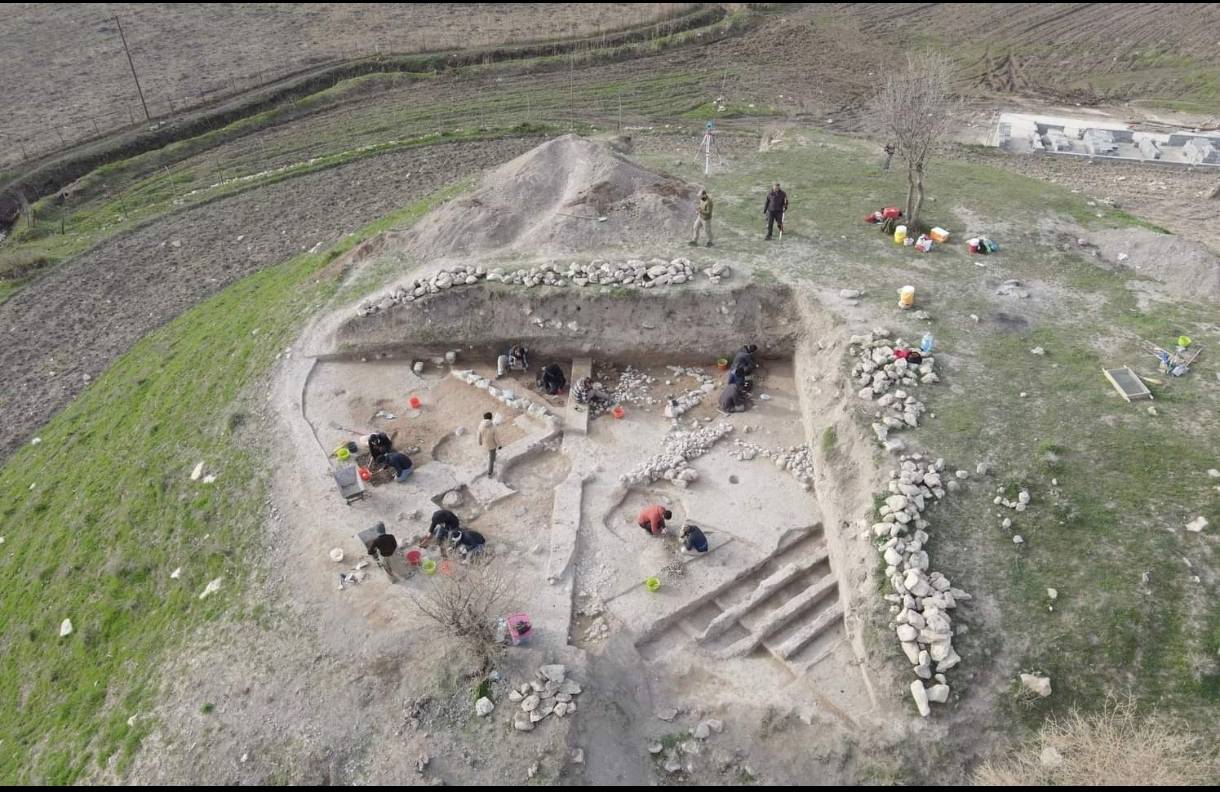
Residential project in Chwartaq district

Article Name

In the Chwartaq district, there is a residential project. As per the Guidelines for the Implementation of the Law on The Management and Preservation of Heritage the Kurdistan Region of Iraq No. 5 of 2021, which were published in Al-waqa'a Al-iraqiya Newspaper (306), Number (23) on 14/7/2023, Article (10) and paragraph (3) state that if the land area for a commercial project exceeding more than (10 Acres), a test pit needs to be excavated to determine if the land is an archaeological site or not. This requirement is due to the significance of this matter as per the archaeological administration's directive.

The project includes a residential development on land area number 72 of the 43rd sector, as well as a portion of the main road from 3/44 of the 43rd sector in Chwartaq. It is situated on the border of Chwartaq village in Arbat, covering an area of (84 Acres and 5 olk). The project is located in the northern part of Arbat district, adjacent to Chwartaq village.

The purpose of the test pit is to ensure that there are no archaeological remains present or the land is located at a considerable distance from the archaeological site. What is intriguing is that these projects are specifically designed to safeguard the archaeological sites and prevent any harm caused by the project.