language
En Ku Ar

Image Title calendar2024-01-28

Human Landscape - Site (Trans-) Formation in the Transtigris Area

he formation of Ear per rone Age centres in pesopotamia is the resut of ong term processes hich can be e pained b en ironmenta economica and socia de eopments heir phsica appearance is not on a testimon of centrai ation but aso of the socia eoution relected in its impact on andscapes Large te sites surrounded b a eb of roads for inter-regiona and inter-site communication traceabe through aeria and sate ite photograph ofer a testing ground for ne methods hie the pains of northern S ria ha e itte ariation in terrain the centra Trans‐Tigris area sho s a high diferentiated terrain afected b the ridges of the agros iedmont one 

Image Title calendar2024-03-07

HUMAN OCCUPATION ALONG THE FOOTHILLS OF NORTHWESTERN ZAGROS DURING THE LATE PLEISTOCENE AND THE HOLOCENE IN THE RANIA AND PESHDAR PLAINS

The south-western foothills of the Zagros range, in Iraqi Kurdistan, have long been largely unexplored because it has been impossible for archaeologists to carry out fieldwork research in this area for more than half a century.

Image Title calendar2024-01-11

Residential project in Chwartaq district

In the Chwartaq district, there is a residential project. As per the Guidelines for the Implementation of the Law on The Management and Preservation of Heritage the Kurdistan Region of Iraq No. 5 of 2021, which were published in Al-waqa'a Al-iraqiya Newspaper (306), Number (23) on 14/7/2023, Article (10) and paragraph (3) state that if the land area for a commercial project exceeding more than (10 Acres), a test pit needs to be excavated to determine if the land is an archaeological site or not.

Excavations at Shaikh Marif, Iraqi Kurdistan Preliminary Report of the First Season (2022)

Article Name


Grdi-Shaikh Marif


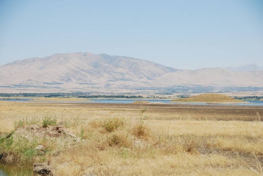
The archaeological site of Shaikh Marif, located in the Shahrizor Plain ca. 500 m south of Gird Shamlu along the Wadi Shamlu, was registered by the Iraq Museum in 1943. In November 2012, the Shahrizor Survey Project additionally identified several new artificial mounds near Shaikh Marif. Among them, a cluster of two tiny mounds is called, together with Shaikh Marif itself, “Se Tapanسێ تەپان ” by the local people, and thus all three mounds were designated “Shaikh Marif”: Shaikh Marif I (the original northern mound), Shaikh Marif II (a western mound also called “Ash Shaikh Marif” by the locals), and Shaikh Marif III (an eastern mound). 
The land is seasonally cultivated today, and the water of the Darband-i Khan Dam Lake occasionally covers almost entire areas of the mounds. 
Owing to modern cultivation and the erosion by flowing water, a large amount of archaeological materials were easily observed on the surface. While no prehistoric material was identified at Shaikh Marif III, numerous Late Neolithic potsherds were scattered across the other two mounds as well as the materials dated to the younger periods. 
The date of these Late Neolithic sherds was estimated to be ca. 6400 6000 BC. A Japanese archaeological team (directed by Takahiro Odaka, Kanazawa University) excavated Shaikh Marif II in 2022 and revealed the Late Neolithic layers, which directly accumulated on the virgin soil. Most of the finds were dated to ca. 6100-6000 BC, although a small amount of the artefacts from the historical periods indicate human activities in the middle Medieval and the Ottoman Periods.