Issue 22
Issue 22
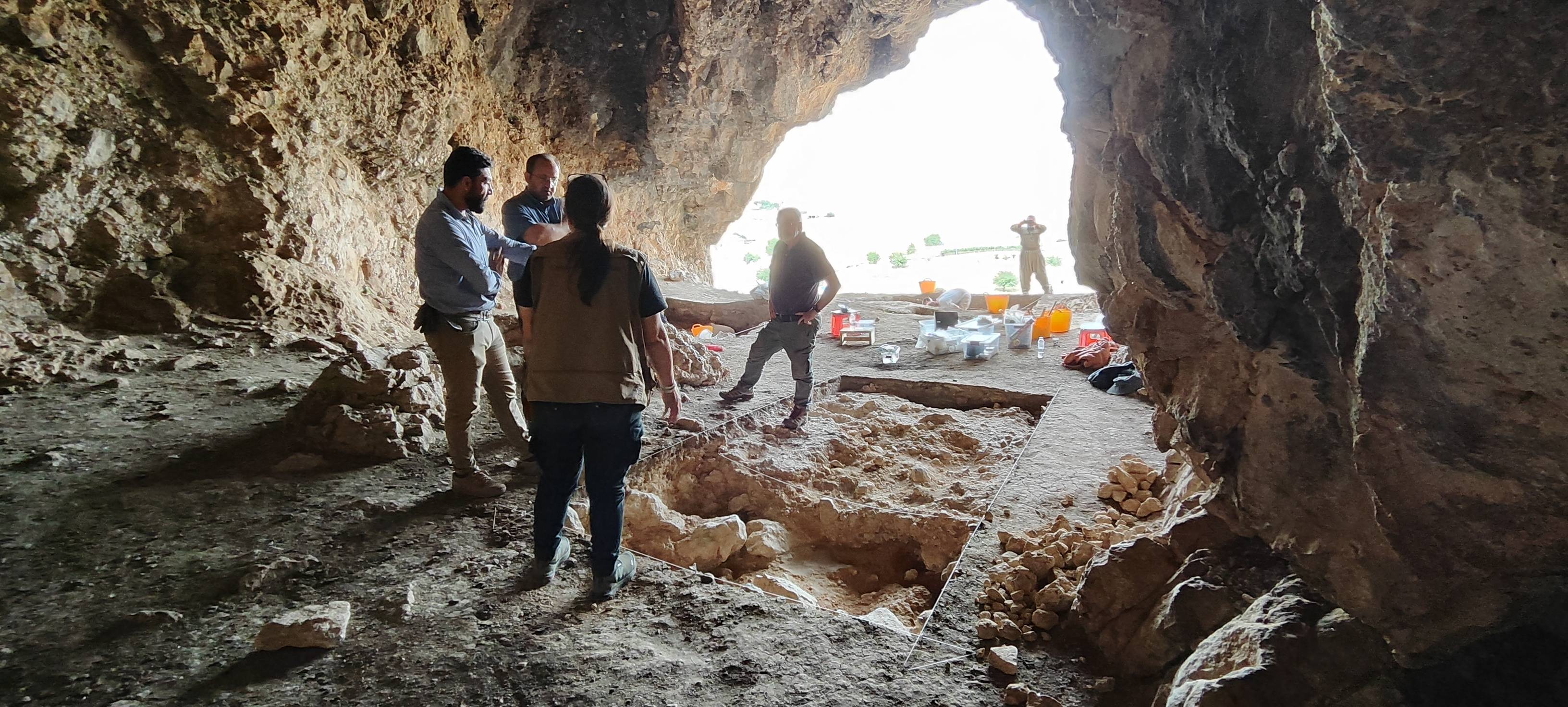
Ashkawta Rash(ئەشکەوتە ڕەش) is a Palaeolithic cave site located. 35 km northwest of the city of Slemani, near the Bazian Gates.
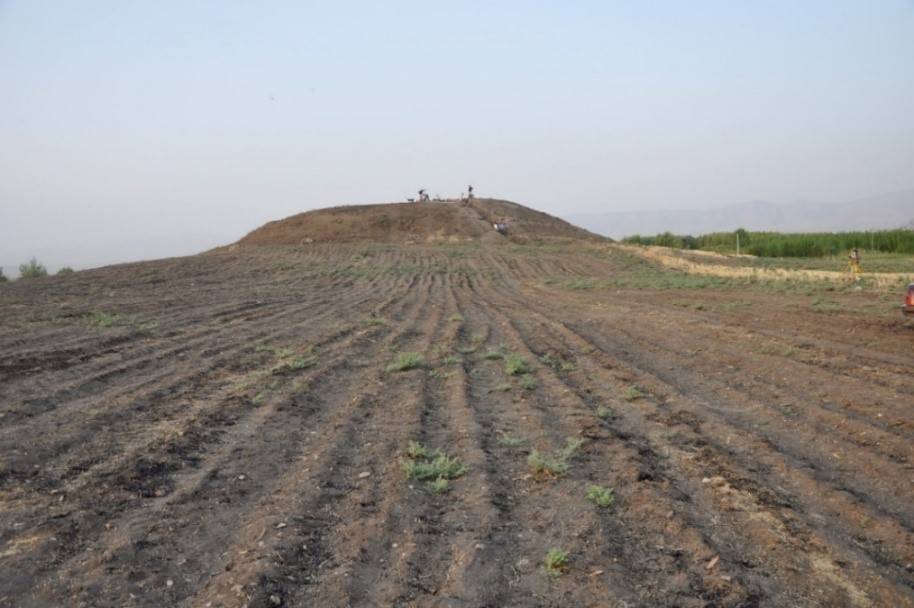
Gird-î Kazhaw is located at the eastern perimeter of the large spring near Bestansur. The site consists of two mounds extending across an area of 4 ha. Mound A is only 2–3 m in height and of oval shape while Mound B reaches up to 10 m in height.
Issue 22