Issue 10
Issue 10
The cave here at Zarzi was used by groups of hunter-gatherers between 18,000 and 14,000 years ago. Zarzi Cave was excavated by Dorothy Garrod in 1928 and by Iraqi archaeologist Ghanim Wahida in 1971.
Shakar Tapa has been known as a conspicuous archaeological site in the south of the Shahrazor Plain since the mid-20th century. It has an oval plan consisting of a low northeastern mound and a high conical southwestern mound with a flat top.
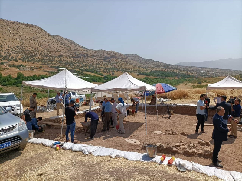
The archaeological mission from the University of Tsukuba began to investigate the Neolithic sites in the Iraqi-Kurdistan region in 2014. The purpose of our investigations was to reconsider the issue of Neolithization in Iraqi-Kurdistan, where research began in the 1940s and 50s and was stalled by political issues starting in the 1960s. With the full support of the Directorate General of Cultural Heritage of the Ministry of Culture of the Kurdistan Regional Government and the Slemani Department of Cultural Heritage, we first began our research at the Qalat Said Ahmadan site, located in the Pshdar Plain. We were able to identify the cultural deposits of the end of the Pre-Pottery Neolithic period, those of the Hassuna, Samarra, Halaf, Ubaid, and Iron Age, and have clarified the nature of the Neolithic site located at the edge of the fan deposits [Tsuneki et al. 2015, 2016, 2019].
Issue 10