Some maps and data of archaeological sites in Slemani province

Some maps and data of archaeological sites in Slemani province


The cave here at Zarzi was used by groups of hunter-gatherers between 18,000 and 14,000 years ago. Zarzi Cave was excavated by Dorothy Garrod in 1928 and by Iraqi archaeologist Ghanim Wahida in 1971.
240111034030.jpg)
The Directorate of Archeology and Culture of Sulaimani continued their work and activities by conducting a test trench excavation in an area of 17 dunams in front of Bashmakh international gate, approximately 600 meters away.
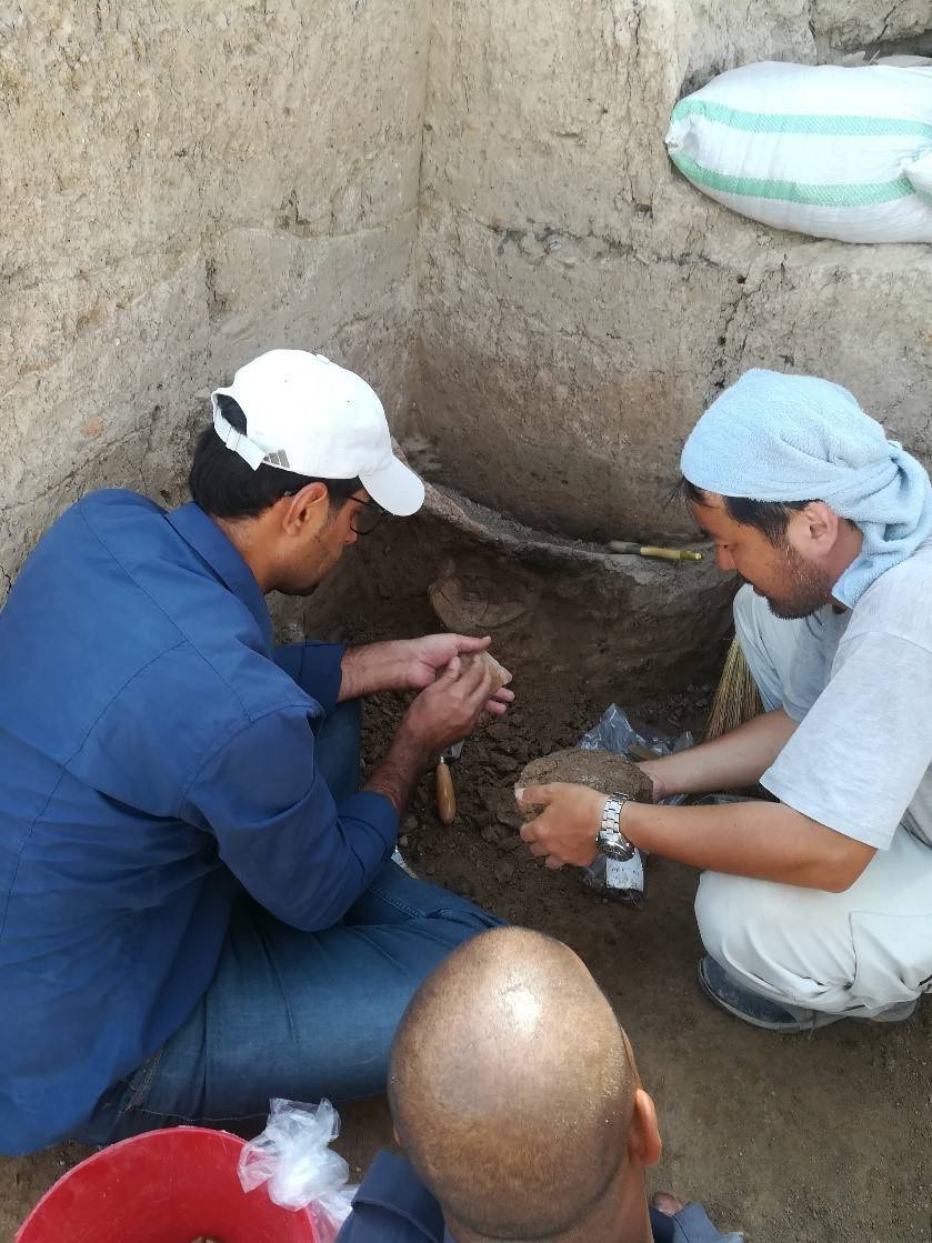
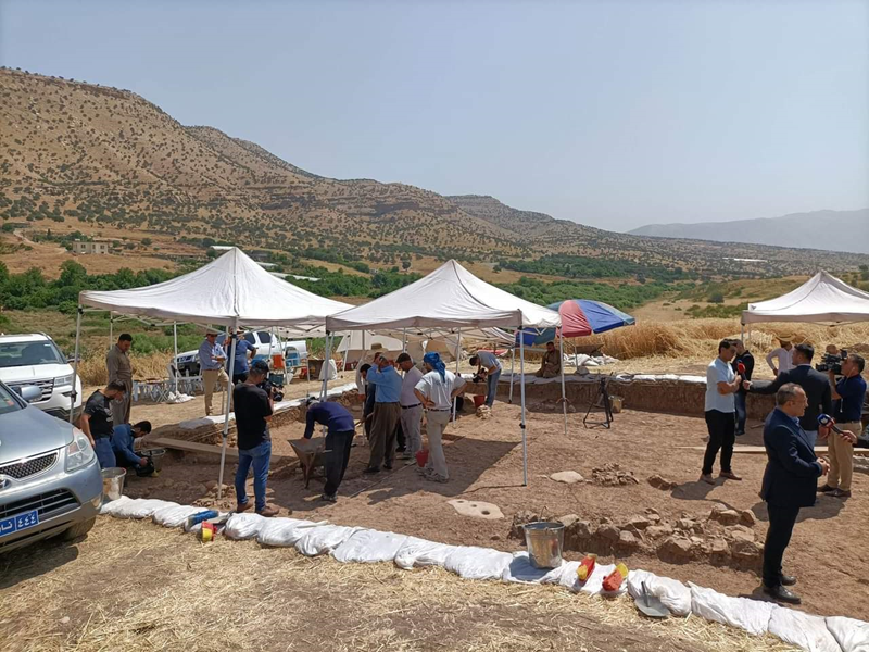
Grdi-Shakar Tapa on the Sharazor plain in Iraq's Kurdistan Region has revealed a new episode of the Neolithic discovery Shakar Tapa has been known as a conspicuous archaeological site in the south of the Shahrazor Plain since the mid-20th century. It has an oval plan consisting of a low northeastern mound and a high conical southwestern mound with a flat top. The Darband-i Khan Dam Lake is adjacent to the north of the site and its water occasionally reaches the skirt of the mound, causing crucial erosion of the northern edge of the mound. Many archaeological materials were collected on the surface of Shakar Tapa in the past. Although most of them can be dated to the historical ages, such as the Early-to-Middle Bronze Age, the Iron Age, and the Parthian-Sasanian Period, some artefacts were certainly dated to the prehistoric period. In 2019 a Japanese archaeological team (directed by Takahiro Odaka, Kanazawa University) started the excavations of Shakar Tapa to investigate its late prehistoric occupation. The first operation of a step trench was set at the northwestern skirt of the high mound and yielded the Ubaid deposit and the Late Neolithic stratigraphic sequence covering ca. 6400-6000 BC. Virgin soil was reached at the northwestern end of the trench about 5 m below the highest level of this trench. The second season carried out in 2023 revealed the younger Late Chalcolithic deposit at the area near the trench in 2019. In addition, a few low satellite mounds were identified west of the main mound and another late prehistoric deposit was uncovered at one of them.
Some maps and data of archaeological sites in Slemani province