language
En Ku Ar

Image Title calendar2024-07-25

Memorandum of Understanding Between Slemani antiquities and heritage Directorate and Kurdistan Geological Society Slemani Branch

Slemani antiquties and heritage Directorate signed a memorandum of understanding between our directorate as a government entity and Kurdistan Geologists Association Slemani Branch to further coordinate and serve these two fields in Kurdistan in general and Sulaimani in particular.

Image Title calendar2024-01-11

Darband-i Rania Archaeological Project, with an area in excess of 70 ha a special interest in the first millennium BC

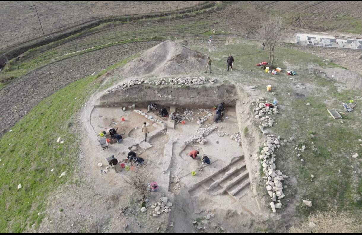
Darband-i Rania Archaeological Project the Darband-i Rania Archaeological Project was a project directed by Dr. John MacGinnis of the British Museum, carried out in co-operation with the General Director of Antiquities of Kurdistan, the Directorate of Antiquities and Heritage of Raparin and the Directorate of Antiquities and Heritage of Slemani.

Image Title calendar2024-05-26

The publication of archaeological and educational education by the excavation team in Ashkawta Rash

The publication of archaeological and educational education by the excavation team in Ashkawta Rash After about two seasons of work in the black cave (Alla Quli) located on the border of the same village in the town of Bardaqaraman. The team، consisting of the British University of Liverpool and the Sulaymaniyah Directorate of Archaeology and Heritage, represented by the archaeologist Amanj Hama Amin Rahim,

Surveying Dukan Lake

Article Name

 The latest archaeological activity is the survey of some of the archaeological Sites in Dukan Lake.  It is a joint work between the Archeology and heritage Directorates (Slemani, Raperin and Pisa University) of Italy.

The decrease in the water level of Dukan Lake provided an important opportunity to survey some of the archaeological sites in the lake (Ranya - Chawarqurna - Bangird - Khdran) that some of them had not been visited since the 1950s  Despite the difficulties, distance and dangers, the work was done very scientifically, with about 13 archaeological hills recorded.

Changes in the deterioration of the archaeological sites due to lake water, visitors and fishermen, but some new periods, archaeological objects and important clay fragments were recovered and re-recorded.  The use of drones, cameras and GPS points was another task of the project, in order to recreate new maps, determine their archaeological periods and provide new information about the hills.

 The recorded archaeological hills are:

(Grdi-Pres  - Grdi-Bayaz Agha - Grdi-Qurala - Krosk Hill -Grdi- Khazem  - Grdi-Rash  - Grdi-Musa 1 - Grdi- Musa  2 - Grdi-Musa  3 - Grdi-Khoeris  - Grdi-Kamam  - Grdi- Qurashina  - Grdi-Kundu).