language
En Ku Ar

Image Title calendar2024-01-28

MAGNETIC INVESTIGATIONS IN THE SHAHRIZOR PLAIN, IRAQI KURDISTAN

Archaeological features, such as architecture etc. can be traced by high resolution and large-scale magnetometer prospecting. Moreover, soil magnetic data deliver additional information about the alteration of the ancient landscape. In combination with an archaeological survey, the geophysical results can provide information to reconstruct the spatial organization within these settlements as well as an epoch-spanning analysis of settlements and their role in urbanization processes and within settlement hierarchies.

Image Title calendar2024-01-28

Zarzi was used by groups of hunter-gatherers between 18,000 and 14,000 years ago.

The cave here at Zarzi was used by groups of hunter-gatherers between 18,000 and 14,000 years ago. Zarzi Cave was excavated by Dorothy Garrod in 1928 and by Iraqi archaeologist Ghanim Wahida in 1971.

Image Title calendar2024-01-28

NEW INVESTIGATIONS IN THE ENVIRONMENT, HISTORY, AND ARCHAEOLOGY OF THE IRAQI HILLY FLANKS: SHAHRIZOR SURVEY PROJECT 2009–2011

Recent palaeoenvironmental, historical, and archaeological investigations, primarily consisting of site reconnaissance, in the Shahrizor region within the province of Sulaymaniyah in Iraqi Kurdistan are bringing to light new information on the region’s social and socio-ecological development.

Archaeological Awareness Seminar

Article Name

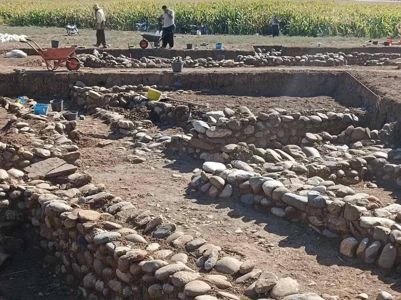
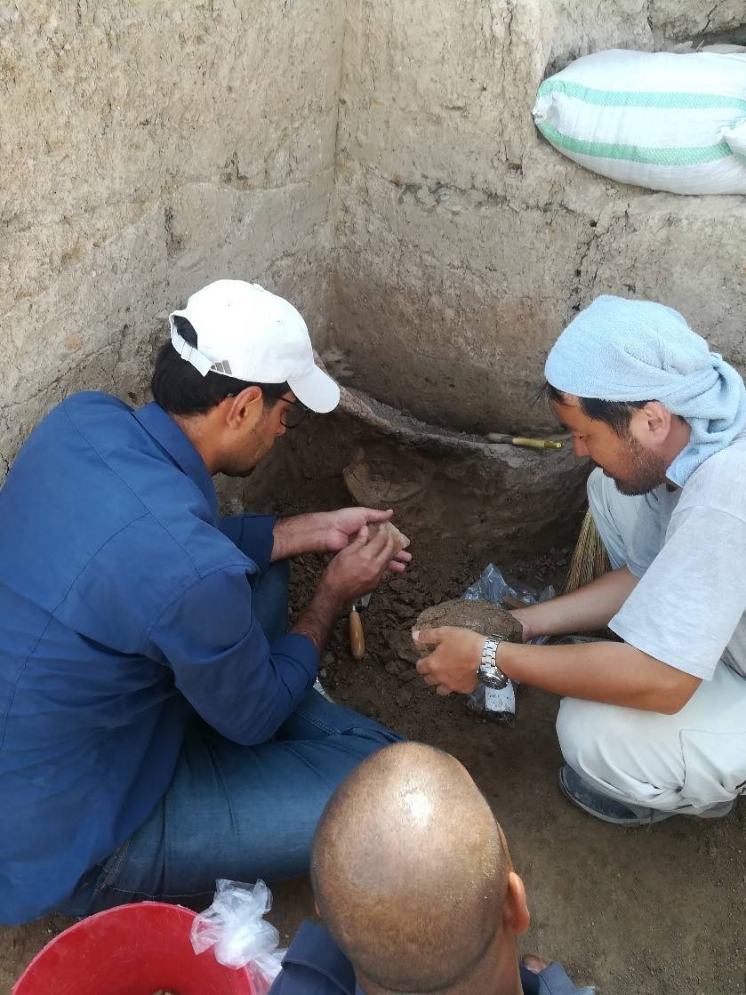
In joint contract project  between Sulaimani Directorate of Archeology and Culture and the German Universities of Frankfurt and Erlingand, an archaeological awareness seminar was held at Shahidan Primary School in Qalrkh village in Sharazoor township  The seminar focused on the importance of the history of Sharazoor and the archaeological excavations of Qalrkh Hill were explained to the participants. Also, several archaeological objects were introduced to the students.