
MAGNETIC INVESTIGATIONS IN THE SHAHRIZOR PLAIN, IRAQI KURDISTAN
240128080157.png)
Archaeological features, such as architecture etc. can be traced by high resolution and large-scale magnetometer prospecting. Moreover, soil magnetic data deliver additional information about the alteration of the ancient landscape. In combination with an archaeological survey, the geophysical results can provide information to reconstruct the spatial organization within these settlements as well as an epoch-spanning analysis of settlements and their role in urbanization processes and within settlement hierarchies.
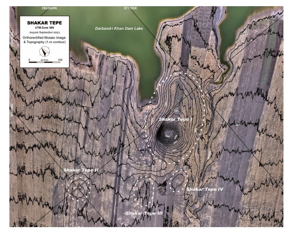
Our case study is focusing on the area along the Wadi Shamlu, situated within the Shahrizor plain (i g. 1) in northeastern Iraq, where more than 30 ancient settlements were documented and surveyed; the project is funded by Gerda Henkel Stiftung. The area consists of a few multi-period settlements (Gird-i Shamlu, Tell Begum) and of a multitude of single phase settlements or farmsteads. The sites, dating from the Neolithic to Islamic period, are archaeologically surveyed and verii ed by pottery i ndings. The i rst magnetometer surveys in the Shahrizor plain were already undertaken in 2014. They revealed structures of settlements and traces of a Parthian temple at four sites (i g. 1). In spring and autumn 2017, we investigated l at ancient settlements during two geophysical campaigns.
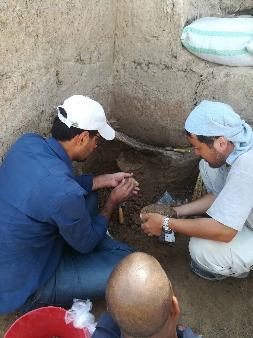
These sites are visible on the surface by a slight elevation and grey soil color. The survey brought to light distinct archaeological features such as remains of buildings, which contain rows of rooms including installations such as ovens or kilns. Furthermore, geoarchaeological features such as ancient river beds and irrigation canals were detected in proximity of these sites. Such features are often covered by sediments and rarely attested by remote sensing methods in this region.